| FLand-Ale Japan-World Map (English edition) Freeware
The FLand-Ale is the map software which operates with the Windows.
This software started production from 1990. After completion it released as the online software. After that, it developed with the advice of many technologies and the effort and employer. Now, it is fixed turn of the map software of the online software in Japan. 10,000 or more it is utilized in the Japanese country.
So far, it made English edition from the person who has lived in the world and with heard. It meaning that preparation is prepared, it releases.
The detailed instruction manual has belonged. But, being to be the software which can be used sensuously please use by all means.
When there is opinion and a thought, the mail please do.
The main feature of the FLand-Ale is explained.
* It can operate simply.
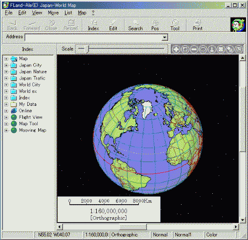
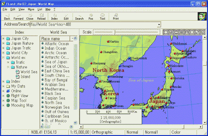
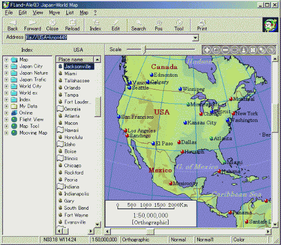
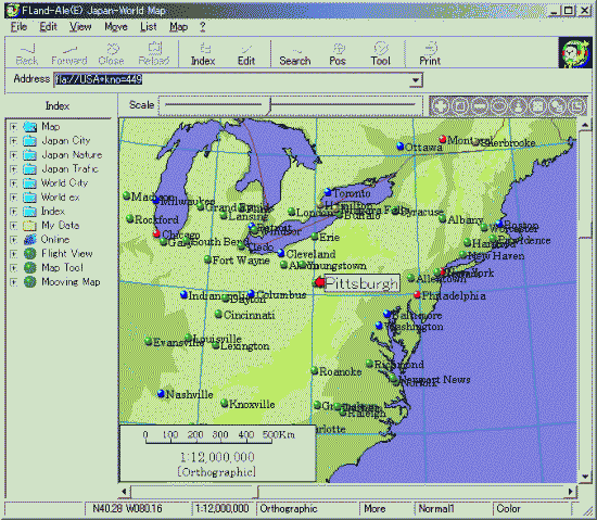
* Worldwide from size in the map to city size the map is indicated at free position and size.
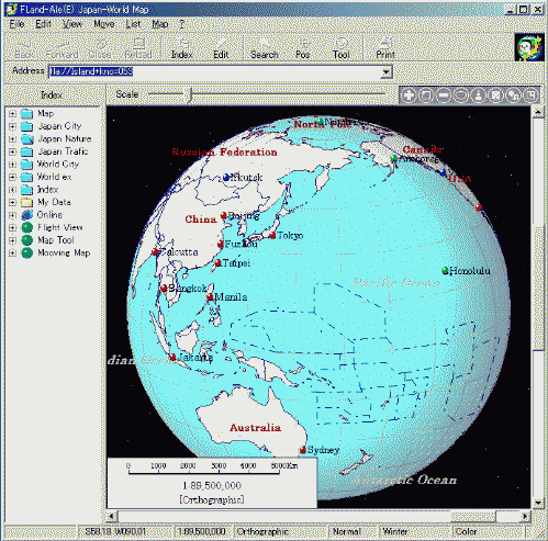
* 11 map projection of types is included.
* Color in the map, and method of presentation of place name it modifies.
* Detailed information of the natural place name and traffic et cetera of Japan is included.
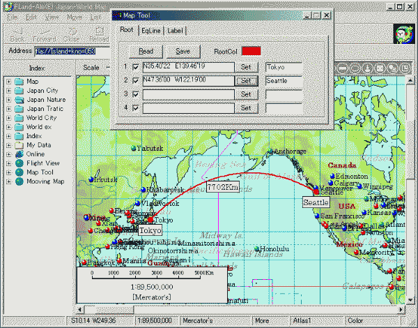
* It can measure the distance and the like between the city. In addition, it can indicate on the map.
* The information which is entered by the user is indicated on the map.
* Simple 3d indication is possible.
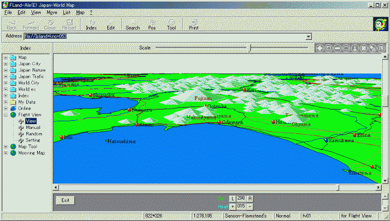
* Simple flight simulation is possible.
The operating condition
* Windows XP/2000/Me must operate.
* Visual Basic Ver6.0 the Runtime must be included.
The installer - it has not belonged. Please develop the data compressed file in the optional folder.
|